|
Country Map ·
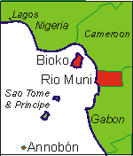
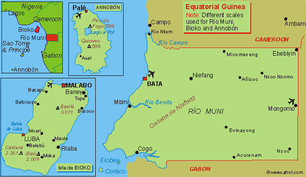
Equatorial Guinea
Equatorial Guinea - basic geographical notes
Location: Central Africa. Continental part (Río Muni) bordering Atlantic Ocean (west),
Cameroon (north) and Gabon (south and east).
Capital: Bata (before 2000,
Malabo)
Surface: 28.051 km2
Population: 400.000,
whereof 42% urban. 2,5% annual increase.
Population density: 14,26 person/km2
Paved roads: 50 km
.
.
.
.
|
Size: 14 kb
|
Would you like to copy and use this or other African maps?
-You are welcome! On afrol ClipArt there are lots of maps in all
colors and sizes you may download/save for free.
The basic ones, you may republish as you please, the more elaborated ones may
also be republished for free, but require a copyright note. GO!
Related links:

©
afrol.com. All rights reserved.
You can contact us at mail@afrol.com |
|